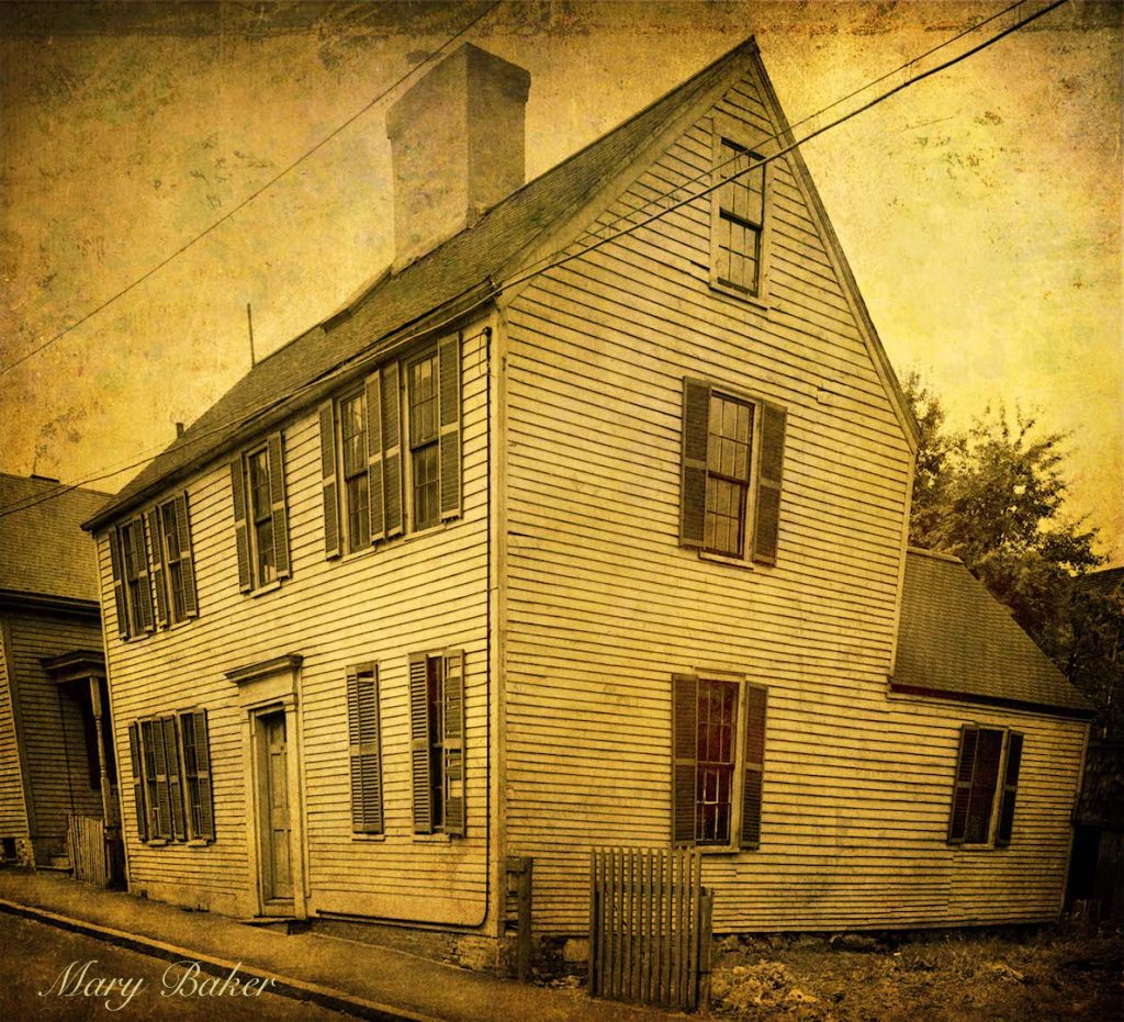
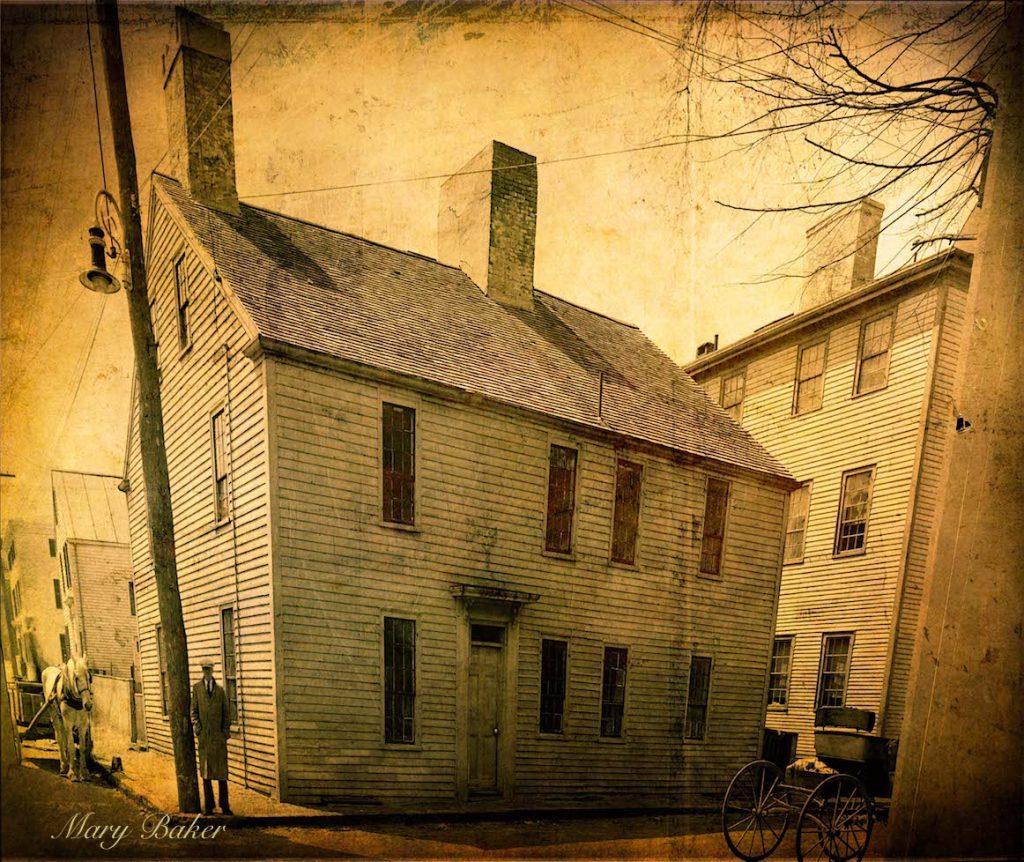
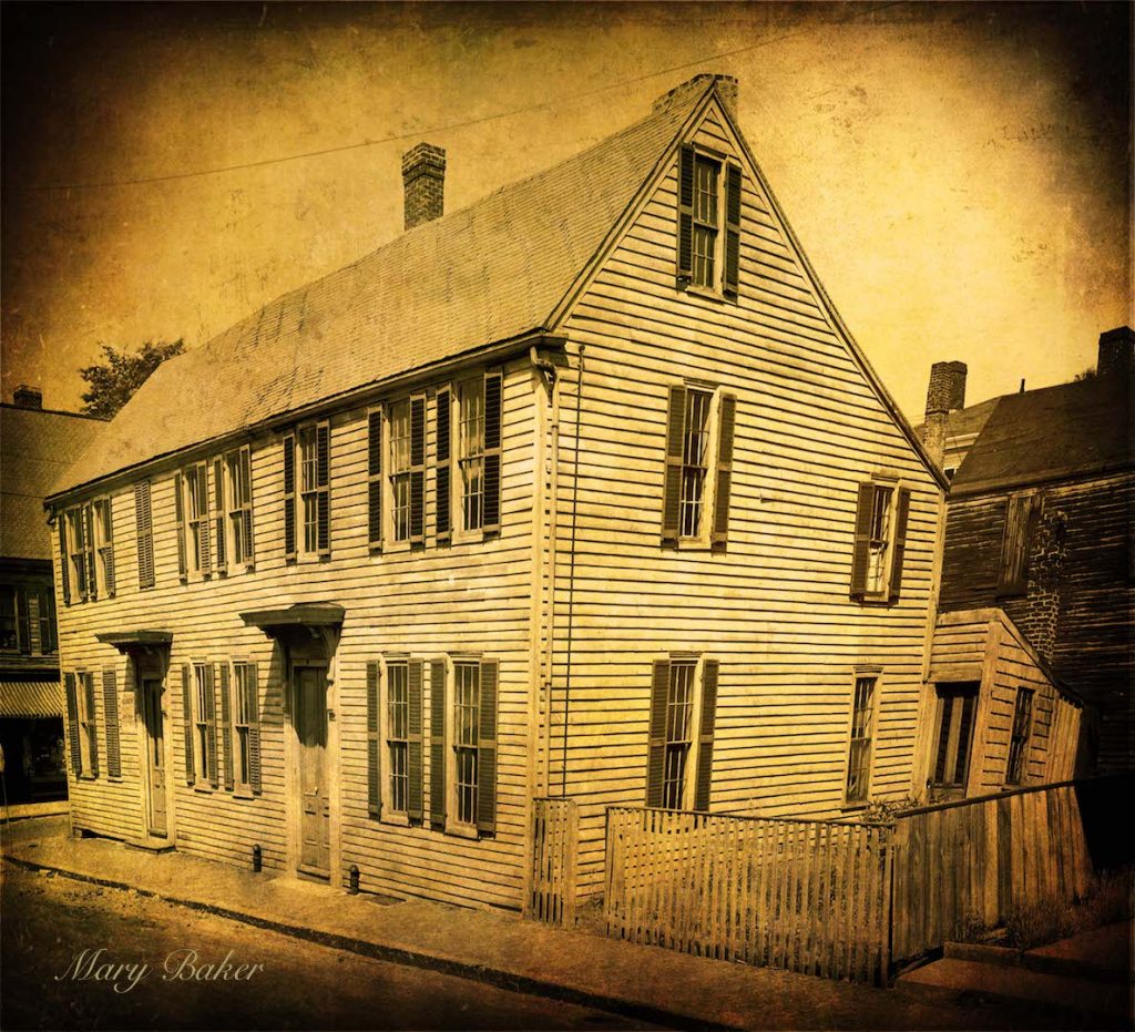
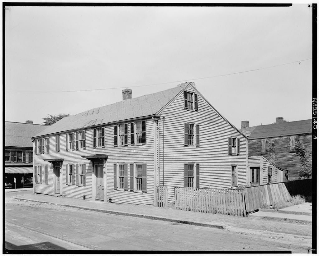
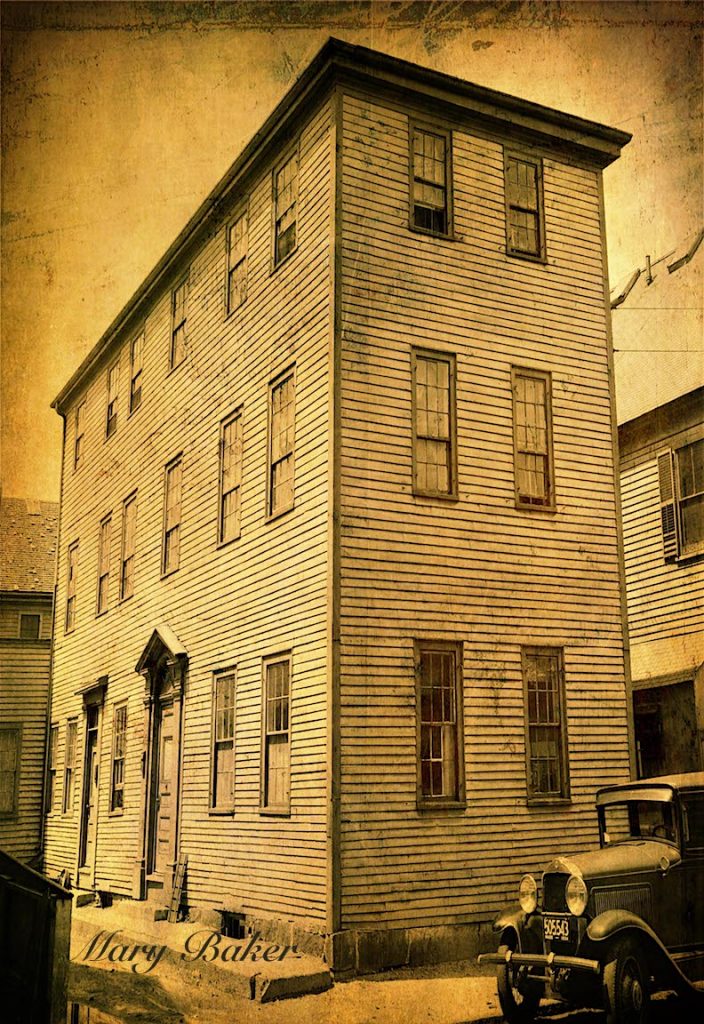
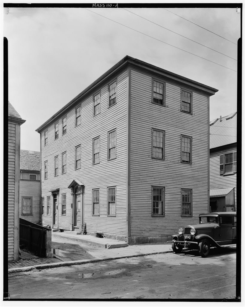
I’ve been working on an art series using historic photographs in the Public Domain from the South. It’s been really fun and an amazing combination of my love for historic preservation and art and painting. I thought that I would experiment with historic images from the Public Domain that are in Newburyport. The ones in Newburyport in the Pubic Domain are from the Library of Congress and are of a neighborhood between Summer and Winter Streets that disappeared with the building of Rt 1 in 1934.
32 Summer Street – Digital Image
Building dates c 1760 and was taken down for Rt 1
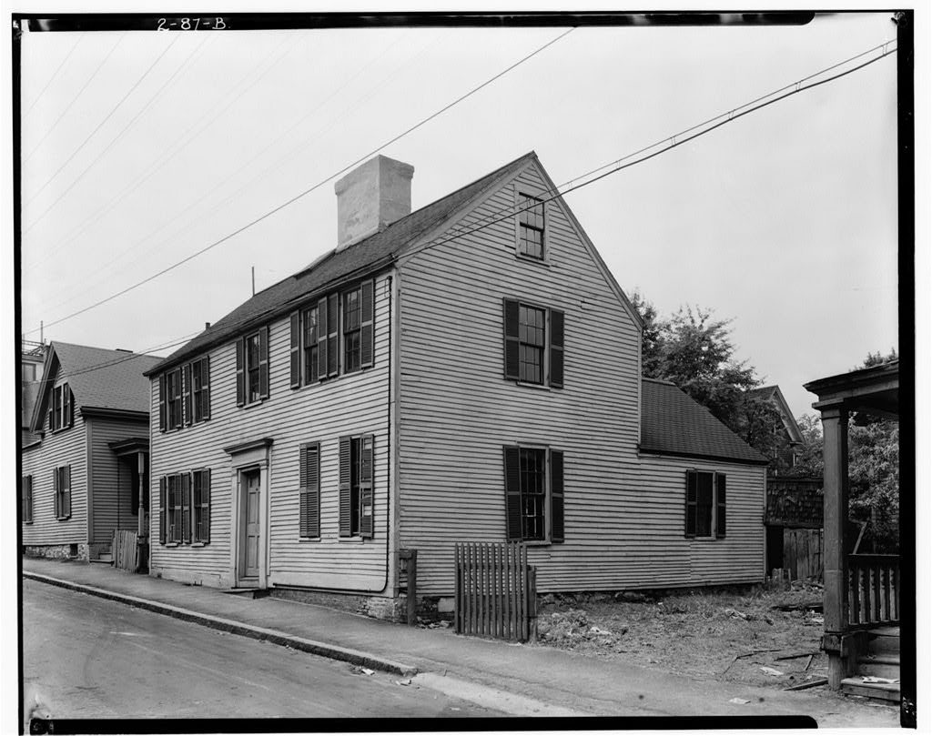
Marden House, 32 Summer Street, Newburyport, Essex County, MA
Historic American Buildings Survey
C 1934
Original image from the Library of Congress
https://www.loc.gov/resource/hhh.ma0664.photos/?sp=2
32 Summer Street, the original image from the Library of Congress
5 Birch Street – Digital Image
The building dates c 1740 and was taken down for Rt 1.
Stockman House, 5 Birch Street, Newburyport, Essex County, MA
Historic American Buildings Survey
c 1934
Original image from the Library of Congress
https://www.loc.gov/resource/hhh.ma0670.photos/?sp=1
5 Birch Street the original image from the Library of Congress
31-33 Winter Street – Digital Image
The building dates c 1770 and was taken down for Rt 1.
Original image is from the Library of Congress
Charles Stockman House, 31-33 Winter Street, Newburyport, Essex County, MA
Historic American Buildings Survey
c. 1934
The original image from the Library of Congress
https://www.loc.gov/resource/hhh.ma0671.photos/?sp=1
31-33 Winter Street, the original image from the Library of Congress
7 Birch Street – Digital Image
Building dates c 1815 and was taken down for Rt 1
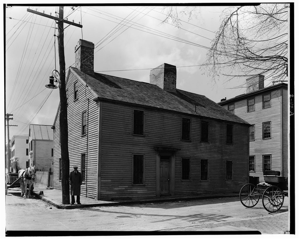
Original image from the Library of Congress
Regan House, 7 Birch Street, Newburyport, Essex County, MA
Historic American Buildings Survey, creator
c. 1934
The original image from the Library of Congress
https://www.loc.gov/resource/hhh.ma0667.photos/?sp=1
7 Birch Street, the original image from the Library of Congress
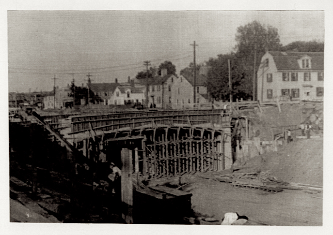
This is the building of Rt 1 Courtesy of the Archival Center at the Newburyport Public Library
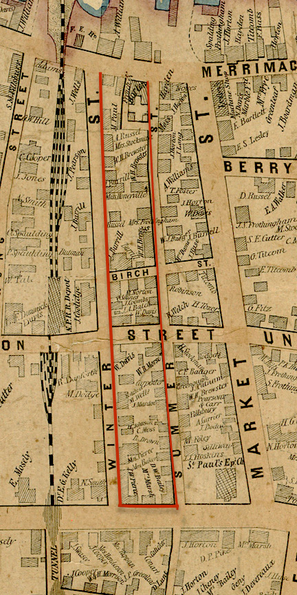
And this is what the neighborhood looked like from an 1851 map. Inside the red lines are the buildings that were taken down to make room for the roadway.
