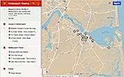
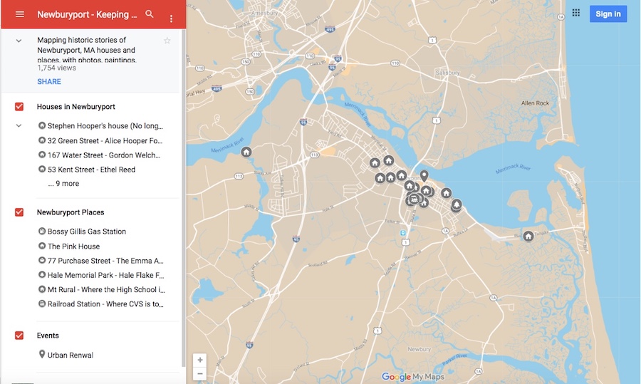
 Here is the link to the map: Newburyport – Keeping the Story Alive, Mapping historic stories of Newburyport, MA houses and places, with photos, paintings, videos, old maps, history and anecdotes. Created by The Newburyport Blog, Mary Baker Eaton, editor.
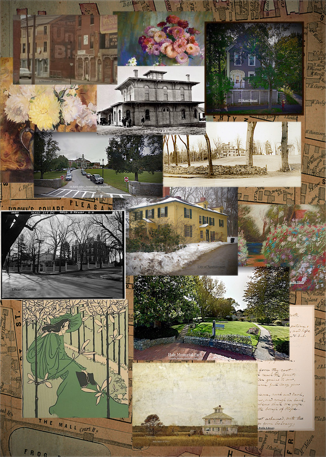
The editor of The Newburyport Blog, me, Mary Baker Eaton, has decided to map all the research that I’ve done over the years for The Newburyport Blog and for “If This House Could Talk – Newburyport,” and then some more researching and mapping after that. The stories are from all walks of life and from different periods during Newburyport’s history. The stories are about houses, people, places and events told and illustrated with photographs, paintings, videos, old maps, history and anecdotes (and even a poem). They are about are men and women, eccentric and proper, rich and poor, successful and those who have fallen on hard times. And the history of Newburyport mirrors the themes and places of the people who have lived here.

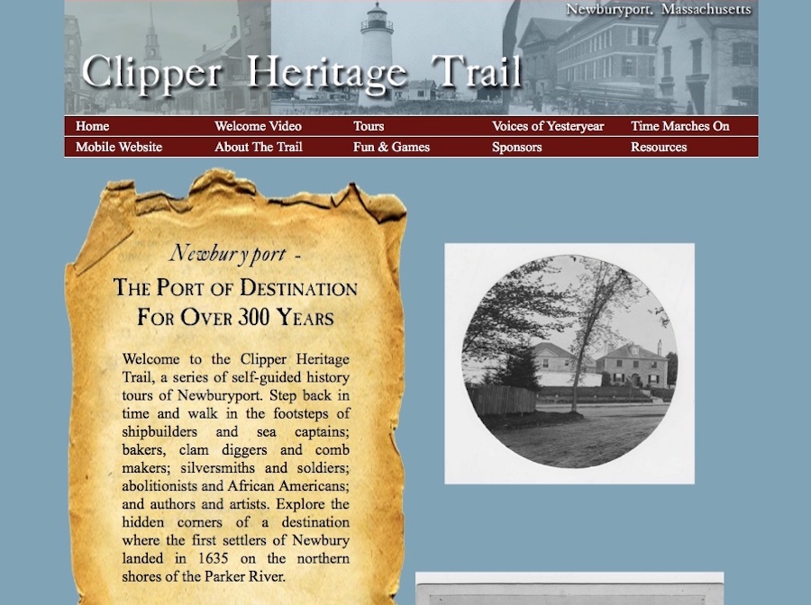
Ghlee Woodworth created the most amazing project in 2012 – the Clipper Heritage Trail. You can download different maps from different areas of the city and learn all about Newburyport’s fascinating history.
The Clipper Heritage Trail
“Welcome to the Clipper Heritage Trail, a series of self-guided history tours of Newburyport. Step back in time and walk in the footsteps of shipbuilders and sea captains; bakers, clam diggers and comb makers; silversmiths and soldiers; abolitionists and African Americans; and authors and artists. Explore the hidden corners of a destination where the first settlers of Newbury landed in 1635 on the northern shores of the Parker River.” ~ Ghlee Woodworth, The Clipper City Heritage Trail
The link to the Clipper Heritage Trail can be found here: http://www.clipperheritagetrail.com

