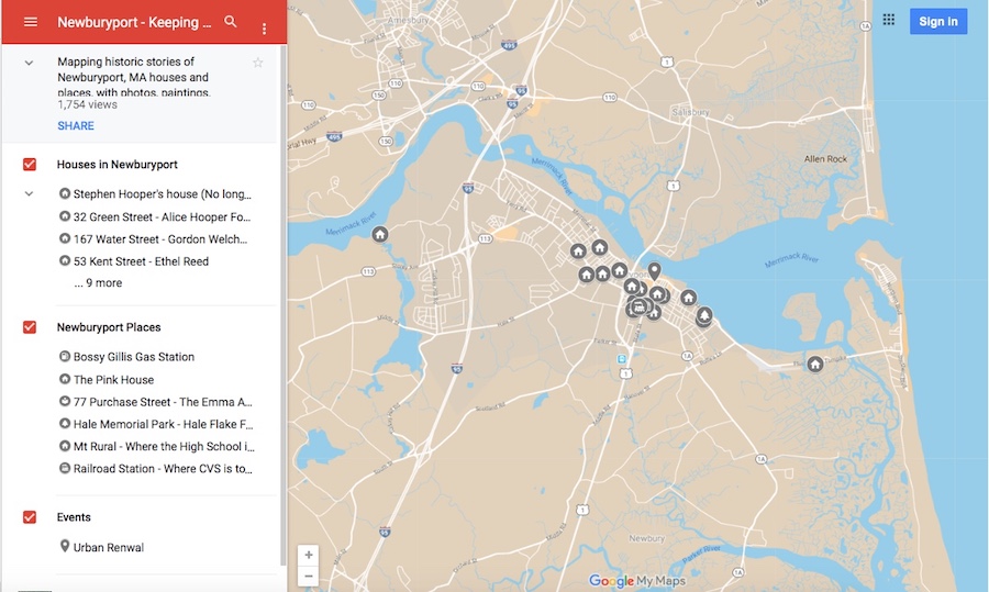
 Here is the link to the map: Newburyport – Keeping the Story Alive, Mapping historic stories of Newburyport, MA houses and places, with photos, paintings, videos, old maps, history and anecdotes. Created by The Newburyport Blog, Mary Baker Eaton, editor.
The editor of The Newburyport Blog, me, Mary Baker Eaton, has decided to map all the research that I’ve done over the years for The Newburyport Blog and for “If This House Could Talk – Newburyport,” and then some more researching and mapping after that. The stories are from all walks of life and from different periods during Newburyport’s history. The stories are about houses, people, places, streets and events told and illustrated with photographs, paintings, videos, old maps, old photographs history and anecdotes (and even a poem). They are about are men and women, eccentric and proper, rich and poor, successful and those who have fallen on hard times. And the history of Newburyport mirrors the themes and places of the people who have lived here.
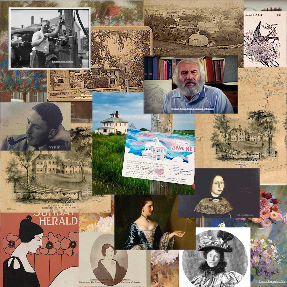
There are so many Newburyport stories that are being lost or have been lost. People are forgetting Newburyport’s history, from Urban Renewal in the late 1960s early 1970s, to Bossy Gillis, Truman Nelson, Alice Hooper Fowle Cutler, painter Laura Coombs Hills, poet Hannah Flagg Gould, Rebecca Rawson, Mt. Rural, writer John P. Marquand, Curzon Mill, artist Ethel Reed, The Old Pillsbury House, and so many more.
Go to the map to find out all about these stories and where the people lived or where the stories took place in Newburyport.
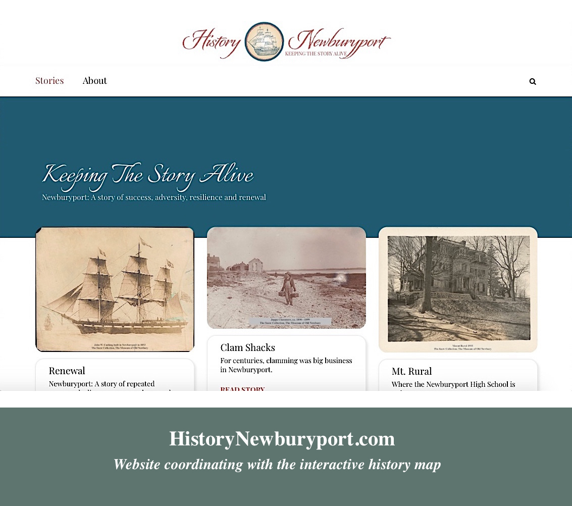
The new website that coordinates with the interactive history map, HistoryNewburyport.com.
A great deal of thanks to the Archival Center at the Newburyport Public Library and the Museum of Old Newbury for all their help and the privilege of being able to use the old photographs from both their collections, and to all the people who have contributed to the history of the houses.
“You’re doing such a beautiful job on this map! Thank you for all your time and work, it’s a wonderful history! This is a giant task to take on and I just want you to know it is appreciated, and I’m just in awe of what a beautiful job you’re doing!!!” ~ Linda Odell
“I absolutely LOVE your post, your blog, and your maps with photos. So incredibly well documented and interesting.” ~ Susan Acquaviva
“I just went to your map and have been reading all about old Newburyport. AWESOME, especially about Jackman and Woodland Street. What a wonderful project you’re making, Mary! There are so many interesting people and buildings to read about. Love it!” ~ Johanna Schwartz
The historic/story map is an outgrowth of Newburyport’s “If This House Could Talk” and all the research that has been done on stories and history for the Newburyport Blog since 2006. The concept of This House Could Talk is to collect and present local history, and historical anecdotes, through a collaborative activity in which residents and businesses post hand made signs and graphics in front of their homes and businesses, telling stories and offering information from the recent or not-so-recent past. It does not matter if the house and/or story is old or new, ordinary or rare and important. The signs have a range of information from the architectural history, to personal experiences and stories of the current or historic residents of a particular house. If This House Could Talk offers neighborhood residents a way to present historical information with a personal voice. This type of free and accessible presentation of information in public places encourages walking and exploration of a neighborhood in order to discover and learn from the signs and artworks. The hope is that the sharing of local history might bring the community together through the engagement with the stories, and contribute to building a sense of place. An increased appreciation for historical preservation is can also a byproduct. The hope is that the interactive history/story map is an ongoing continuation of this objective.


